
Hohonu’s water monitoring platform is a coastal intelligence solution that strengthens flood preparedness and response by integrating low-cost ultrasonic and radar sensors, real-time dashboards, and advanced data analytics. The system delivers ground-truth water level measurements that help emergency managers, public works teams, ports, and environmental agencies make faster, more confident decisions across tidal, stormwater, river, and compound flooding events.
With Synchro, Hohonu pilot-tested a structure-mounted wave gauge that measures datum-referenced water level and wave parameters from a single deployment. The gauge is solar-powered, samples at up to 5 Hz, and telemeters data to provide a continuous, real-time wave time series. A prototype deployed at the Santa Cruz Municipal Wharf since December 2025 has produced over seven months of continuous data and nearly 2.5 million individually resolved waves, offering a more detailed and accurate picture of conditions close to the coast. This information is designed to help decision makers better manage coastal resources.
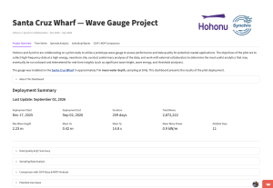
Explore wave data from the Santa Cruz Wharf pilot deployment:
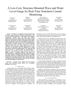
Read their IEEE OCEANS 2026 paper highlighting testing with Synchro:
Show and Tell Webinar
Synchro also hosted a 30-minute webinar to feature their work and connect them with potential users: